
Click on the words “Save our Tomales Bay” above to see this post as it was intended to be seen.
For the many thousands of you that wait on the edge of your recliner for my next batch of images showcasing the worrisome ways in which humans lay waste to the watersheds of the world, I apologize.
Today while visiting the shore of Tomales Bay, as I have the past few weeks in search of debris to remove from the shore and water, I found that much of it had been removed.
Woo hoo!
Last week I opined that with the volume of oyster grow-out bags still littering the shore (hundreds), either the people that put them there would need to pack them out, or I’d need lots of help.
I’m, not sure who did it, but thank you!
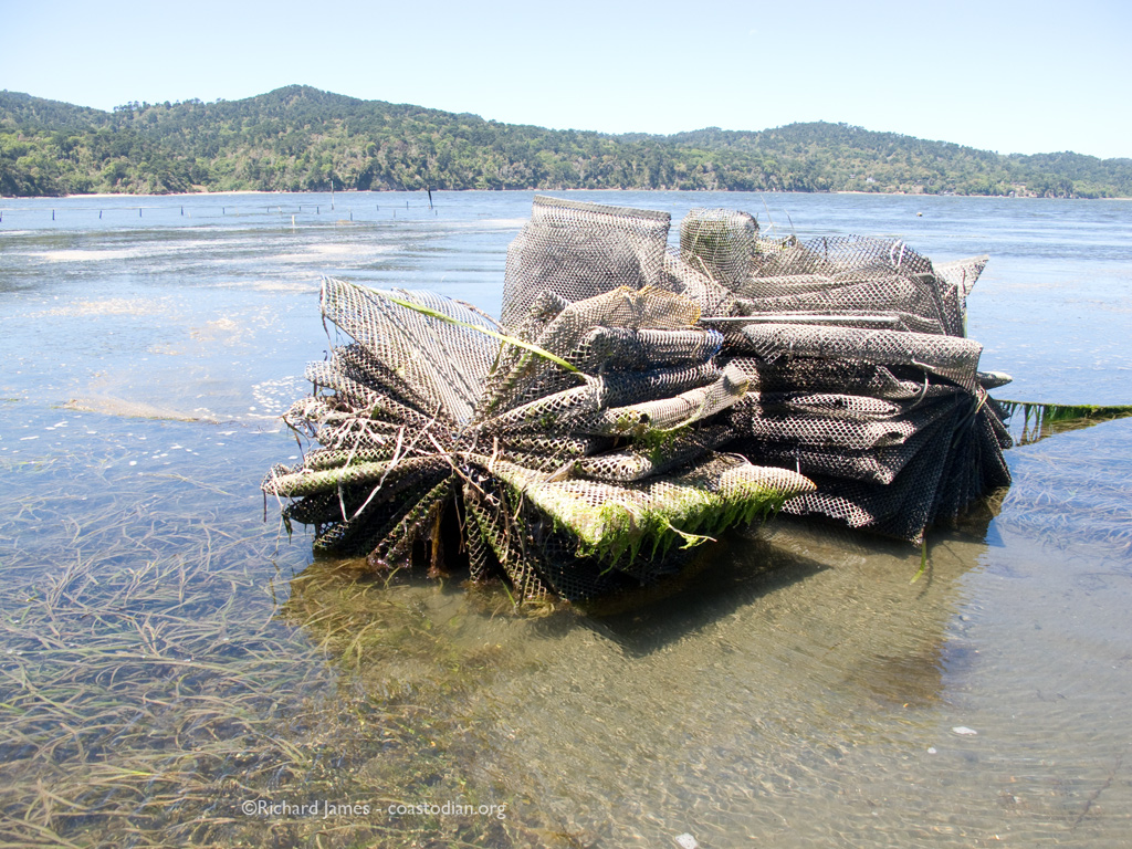
The above bundle of bags is gone, Hopefully retrieved and no longer poised to explode and spread plastic all over the bay. Thank you.
Today the tide was higher and I was on land, not in my boat. So I had no easy way to see if the piles of iron and dozens of submerged, gravel filled bags buried in the bottom have been removed. I hope they were. I’ll come back again to see.
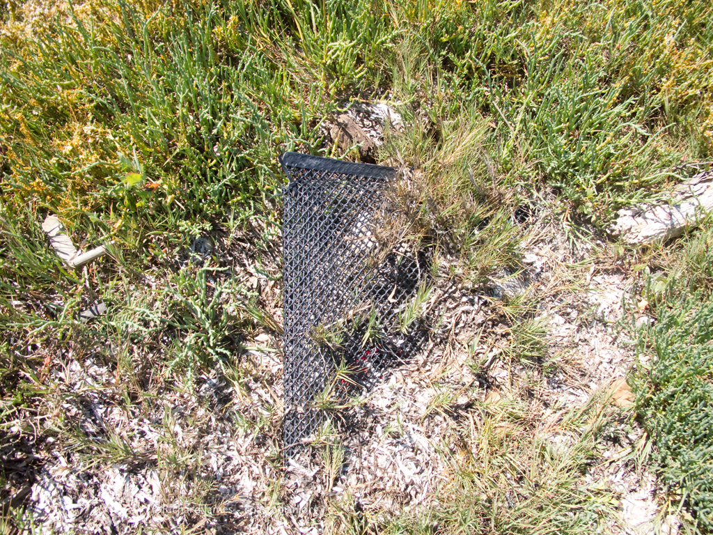
I did find fewer than ten bags on shore and only a few in the water.


Location – 38.119608° N -122.864715° W Datum WGS84
This work site still had the fifteen or so bags laying about I saw weeks ago. I left them then, and I left them today. The wind can easily take these bags into the water where the tides can carry them out to sea. Surely this work area can be kept cleaner!
Location – 38.128490° N -122.864172° W Datum WGS84

Location – 38.128490° N -122.864172° W Datum WGS84
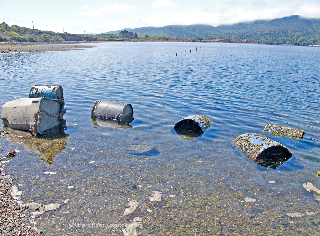
The sad new discovery was the anchors shown in the banner image and again above. Ten to twelve large plastic trash cans or barrels filled with concrete. Who left these here? This is 2013, not 1950. We have known for a long time that we can’t simply extract resources and leave our mess behind for others to deal with. Our planet is buckling under the damage caused by that out-dated thinking.
Who amongst you has an idea on how to get this blight out of Tomales Bay?

Location – 38.125753° N -122.862869° W Datum WGS84
I could have had a V8!

Location – 38.125670° N -122.862855° W Datum WGS84
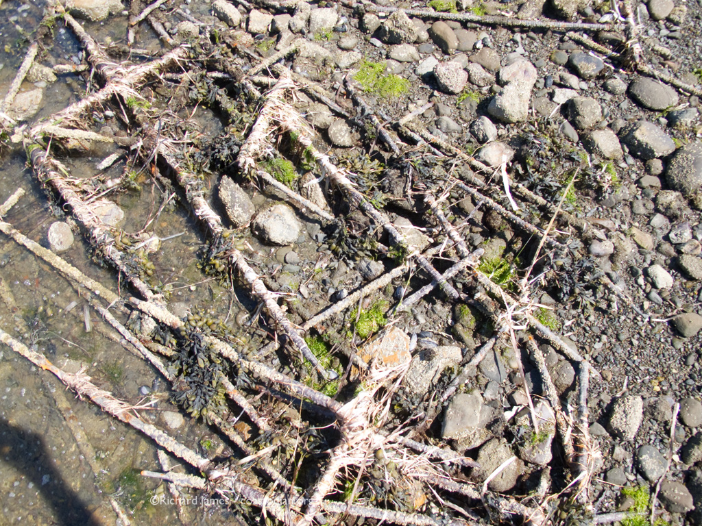
Still more rusty oyster infrastructure from days gone by, littering the bay.
Location – 38.125670° N -122.862855° W Datum WGS84
Next I plan to visit the area around Walker Creek and Preston Point to see what sort of monuments to the human madness are mired in the mud up that way.
Here are a few images showing what a healthy shoreline looks like, plastic free!


.
Next related post may be found here.
Previous related post may be found here.
See the first post in this series “Save our Tomales Bay” here.